From standard SAR imagery to advanced InSAR deformation monitoring and AI-driven analytics — access AIRSAT constellation data through flexible ordering, API integration, or custom industry solutions.
Our ground processing system delivers a range of standard SAR data products, from raw signal data to fully geocoded, analysis-ready imagery.
GeoTIFF / NITF / SLC(CEOS) / Shapefile / GeoJSON / KML — compatible with mainstream remote sensing software including ESA SNAP.
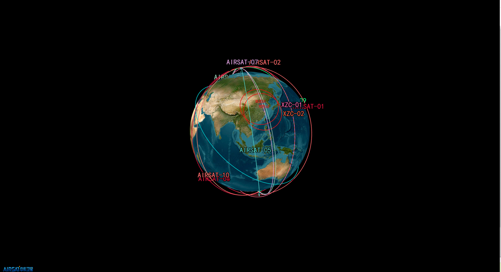
Integrate AIRSAT data directly into your applications and workflows. Search the catalog, place orders, monitor status, and download data — all programmatically.
Four delivery tiers to match mission timelines and budgets.
Millimeter-level surface deformation monitoring using D-InSAR, PS-InSAR, and SBAS-InSAR — validated against ICESat-2 laser altimetry.
From one-time data purchases to enterprise-wide subscriptions — choose the model that fits your organization.
TLS 1.3 encryption in transit, OAuth 2.0 / HMAC-SHA256 authentication, isolated encrypted containers, and full audit trails. ISO 27001 and ISO 9001 certified.
Request sample imagery and technical documentation to evaluate data quality for your application.
Representative Level-1 SAR scenes with metadata, covering multiple imaging modes for technical evaluation.
Full product catalogue — data levels, delivery formats, pricing tiers and service terms at a glance.

Contact our data services team for pricing, availability, custom solutions, or API access requests.